Hour-by-hour weather forecast: Here's the outlook for Wearside as Level 3 weather alert remains in place
and live on Freeview channel 276
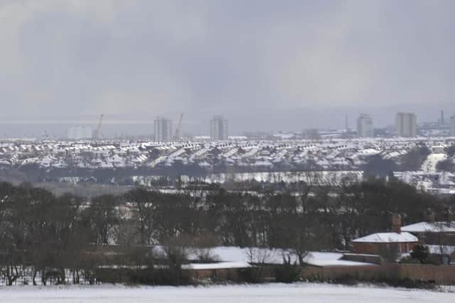
A Level 3 alert was issued across the Tyne and Wear area earlier this week and the weather warning looks set to be in place both today and during the coming days.
Temperatures are expected to hover around freezing throughout the day ahead, leading into an icy start for the coming week.
Advertisement
Hide AdAdvertisement
Hide AdForecasters predict one or two possible showery intervals in and around Sunderland near midday. The next 24 hours are set to be considerably drier compared to Friday and Saturday, February 5 and 6, but still bitterly cold.

A spokesperson for the Met Office said: “Cold or very cold with a brisk northeasterly wind, which will continue bring frequent sleet and snow showers off the North Sea.
"Further accumulations are likely. Some brighter interludes. Maximum temperature 2°C.”
Overall, it is likely to be colder than yesterday, but also drier with brisk easterly winds persisting.
Advertisement
Hide AdAdvertisement
Hide AdSevere flood warnings are also in place across large parts of the north of England. Despite some flooding in the area over recent days, they do not apply to Sunderland.
Here is your hour-by-hour weather forecast in Sunderland for Sunday, February 7:
7am to 8am: Cloudy, 2°C
9am to 10pm: Cloudy with chance of snow, 1°C
11am: Sunny intervals with chance of rain, 2°C
12pm: Rainy, 2°C
1pm to 3pm: Cloudy with intervals of rain, 2°C
4pm: Cloudy, 2°C
5pm: Cloudy, 2°C
6pm: Cloudy, 2°C
7pm to 8pm: Cloudy with chance of sleet, 2°C
9pm: Cloudy, 2°C
10pm: Cloudy with some sleet, 2°
11pm: Cloudy with chance of snow, 1°C
